Statte

Statte
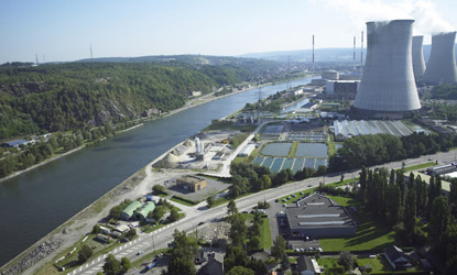
Tihange
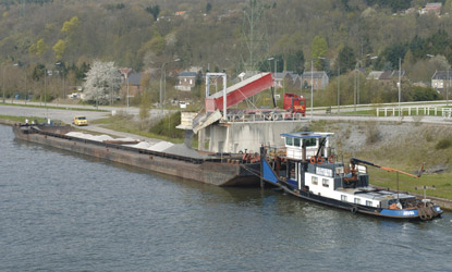
Ampsin
Amay
Ombret
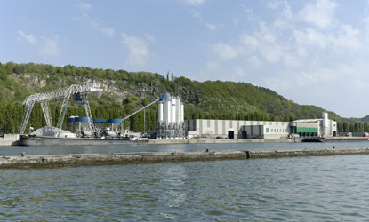
Hermalle-sous-Huy
Ehein
Awirs
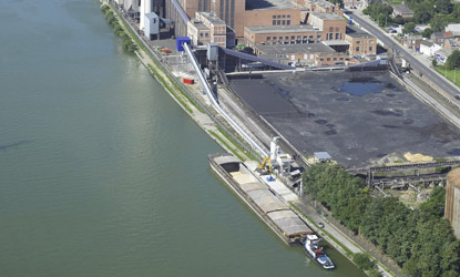
Flémalle
Semerie
Ivoz-Ramet
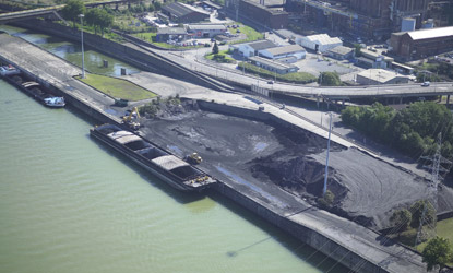
Seraing
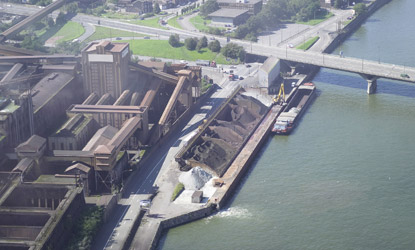
Ougrée
Jemeppe
Sclessin
Renory
Ardennes
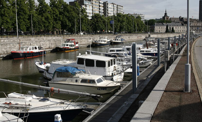
Yachts
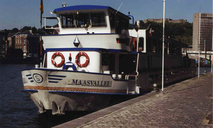
Croisière
Marcatchous
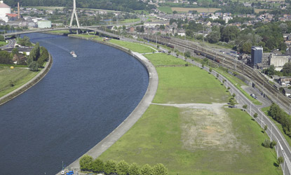
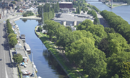
Coronmeuse
Eclatement
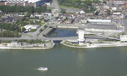
Monsin
Wandre
Herstal
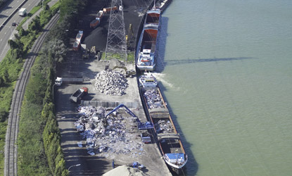
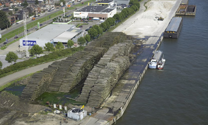
Chertal
Hermalle-sous-Argenteau
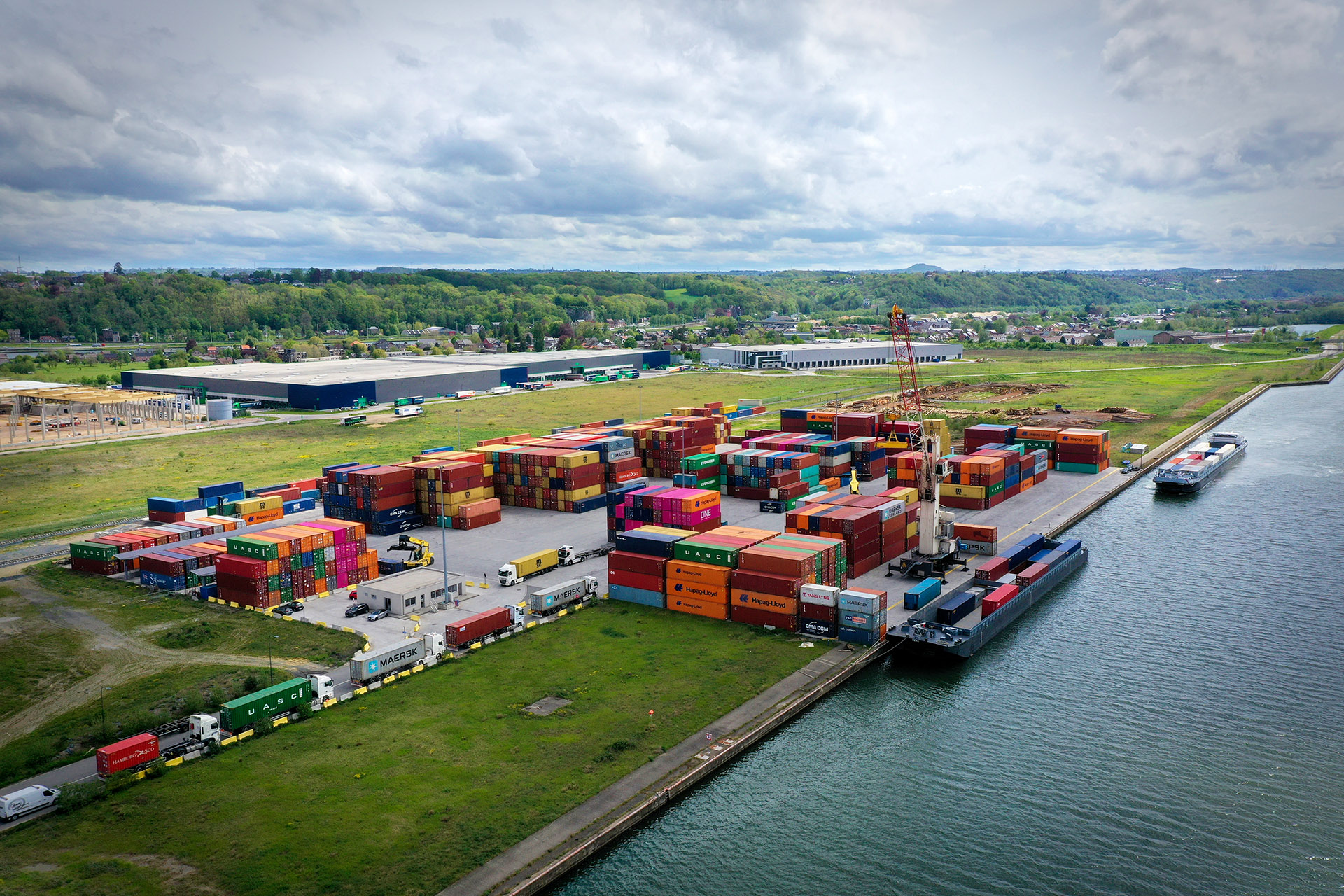
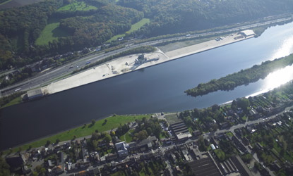
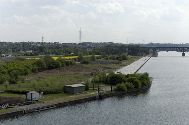
Liège Trilogiport
Argenteau
Visé
Loën
Lixhe
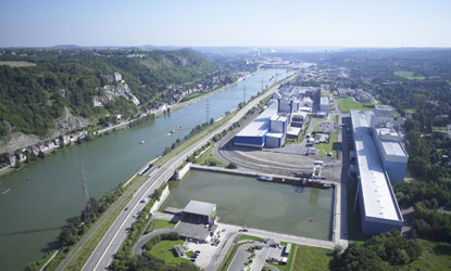
Lanaye
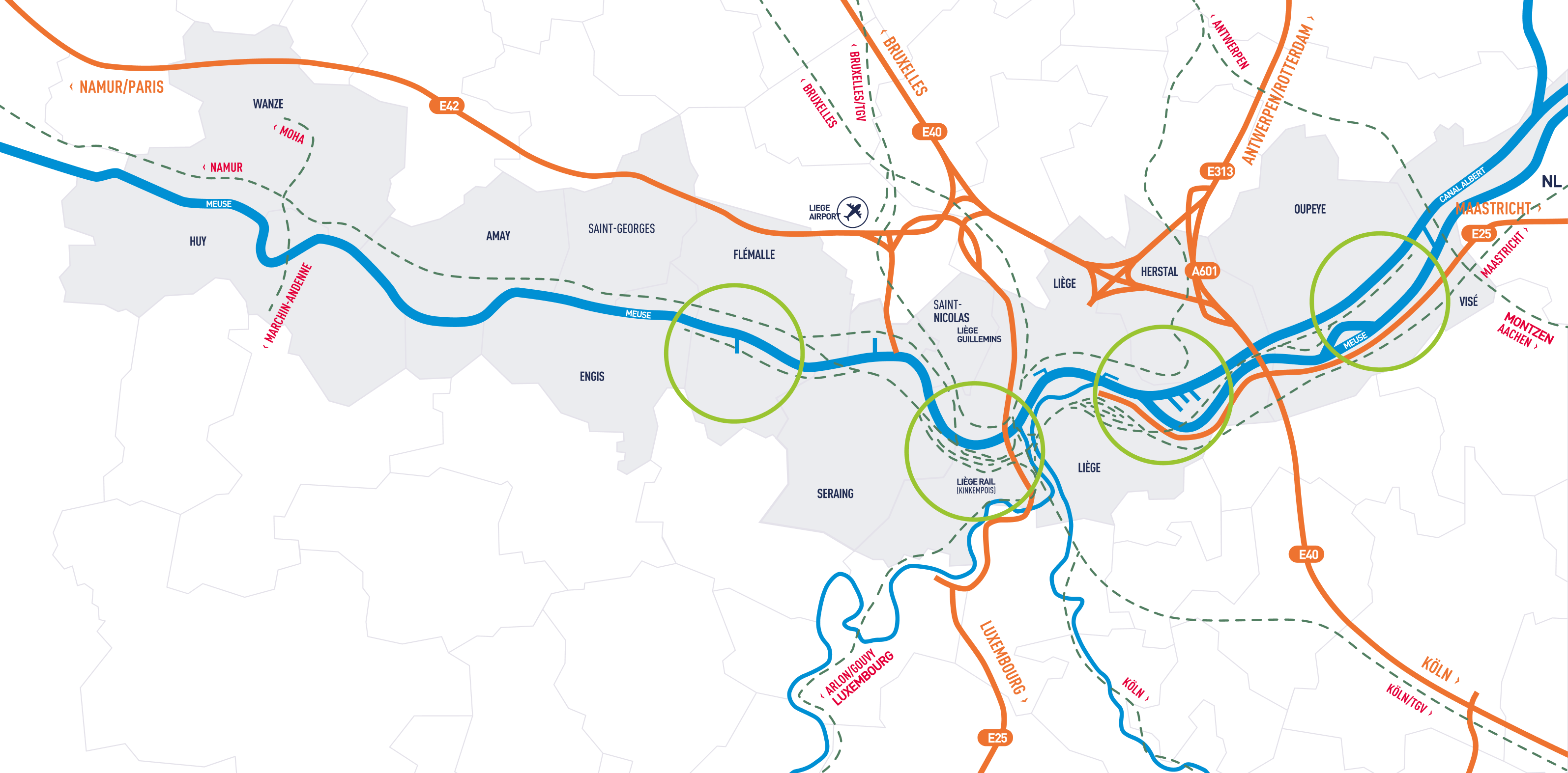
Discover the Port of Liege and its many assets
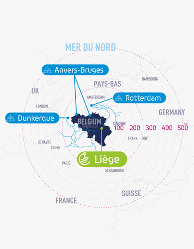
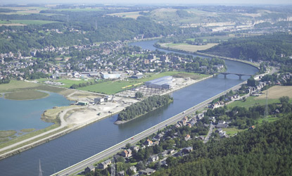
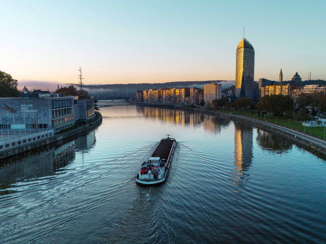
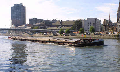
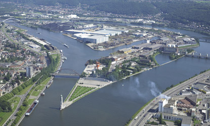
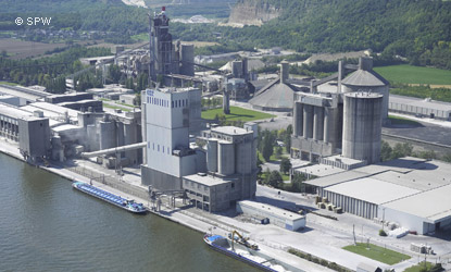
The Liege Port Authority and its exceptional location
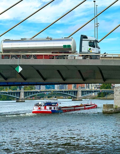
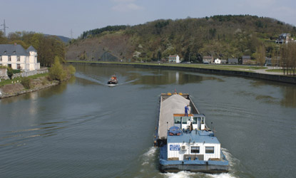
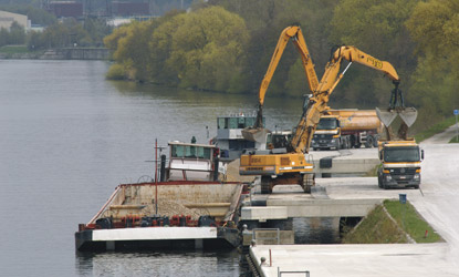
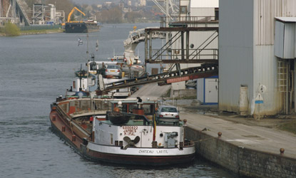
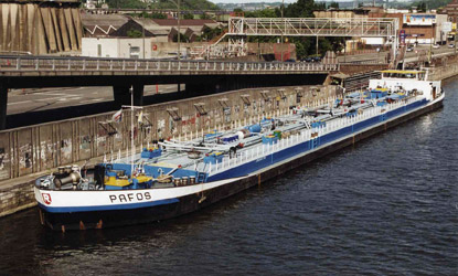
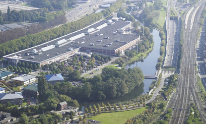
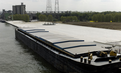
A multimodal strategy via a river, rail and road network
Environmental management at the Liege Port Authority